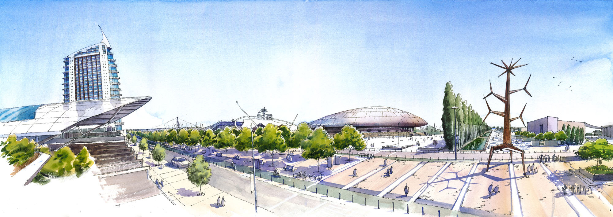
Parque das Nações
Illustrated map
Published in 2021
Client: Junta de Freguesia Parque das Nações
A digital illustrated map of the Parque das Nações district of Lisbon, Portugal. Made with a hand drawn and watercolor feel. The map and illustrations were published in a foldable brochure, and distributed in July 2021 among the 20,000 inhabitants of the district.
The base layer shows the buildings, roads and quarters to scale, in a tri-dimensional fashion. An overlay of the architectural and civic features helps the map reader navigate the district, while a street and public art guide highlights the exceptional work that the district administration has done for the public beauty of the area.